This website uses cookies for analyzing traffic and improving user experience through Google Analytics. These cookies help us gather information about how you use our site. Your data is anonymized and is not used to identify users. Do you agree to the use of analytical cookies?
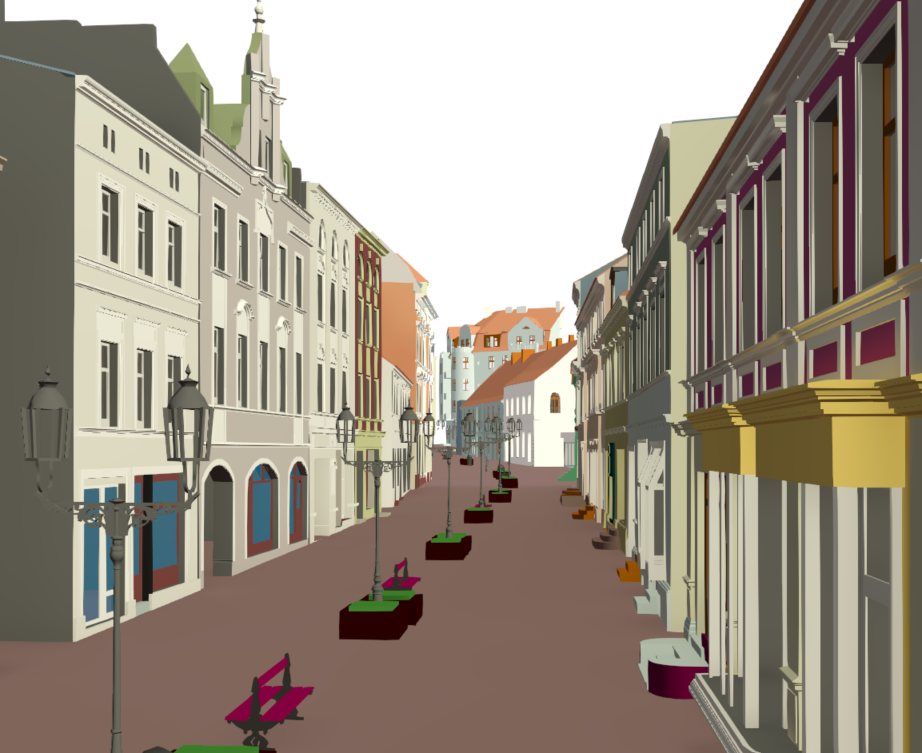
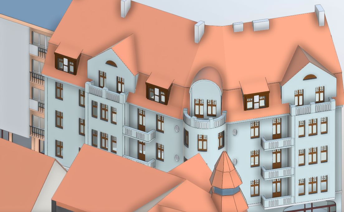
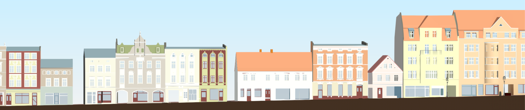
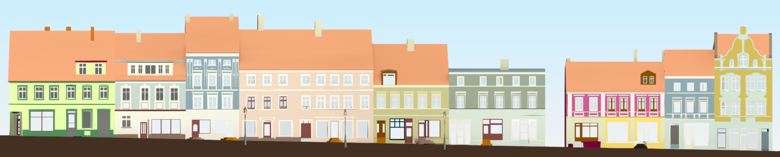
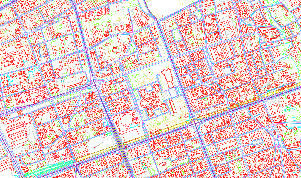
We specialize in creating highly detailed digital representations of cities and buildings, designed to support Right to Light assessments and advanced urban planning processes.
These models provide an accurate reflection of the existing built environment, enabling reliable simulations of daylight access, spatial impact, and the integration of new developments.
This approach allows for precise evaluation of how proposed projects influence natural light conditions in surrounding properties, while also enabling clear and compelling visualization of future developments within their urban context.
We support developers, architects, and planners in making informed design decisions, helping to reduce regulatory risks and avoid potential stakeholder conflicts.
At the same time, our work forms a solid foundation for comprehensive urban development strategies.
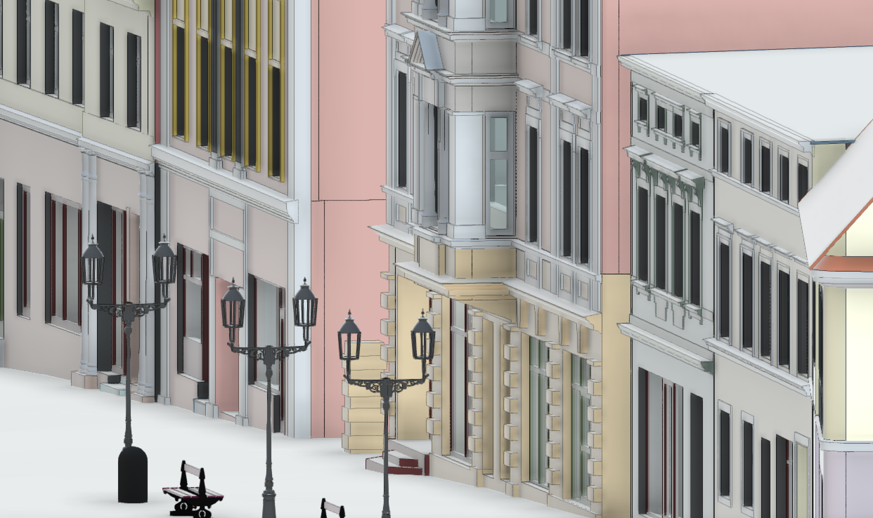
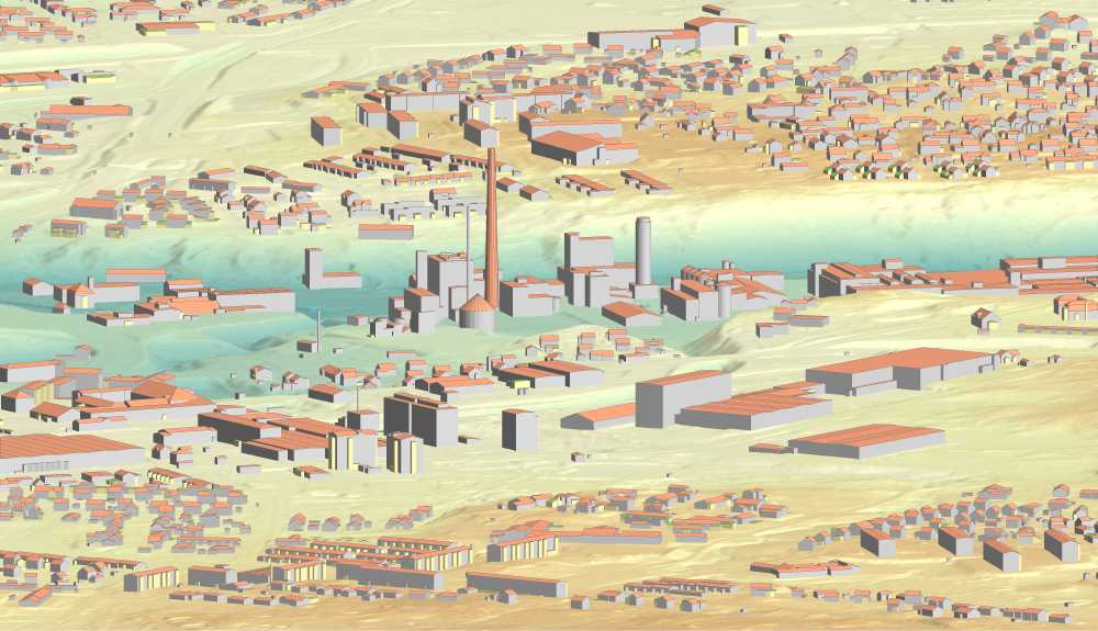
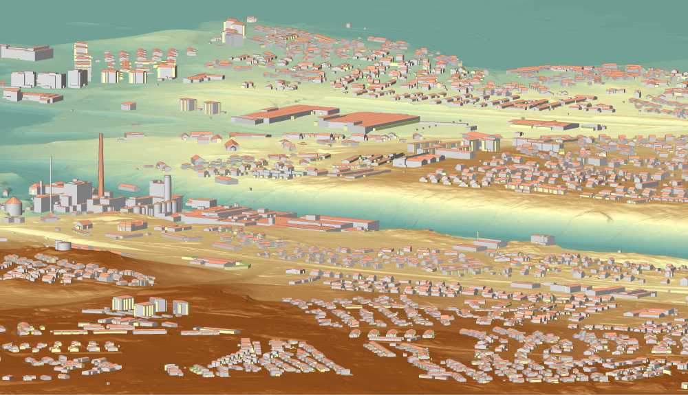
All deliverables are developed using advanced data acquisition technologies, including aerial scanning, aerial photogrammetry, drone imagery, and terrestrial scanning.
By integrating these methods, we achieve a high level of geometric accuracy and detail, essential for environmental analysis, visualization, and planning.
Aerial photogrammetry services for generating high-quality city models, orthophoto maps, DTMs, vector maps, and thematic maps.