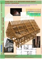
We can do ortophotoplans of elevations, architectural documentation, cartographic maps and orthophotomaps, city models, 3D models, DTM. We also take on more specialised tasks too using our capability for technological creativity.
Select the sample by clicking on image
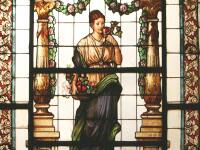
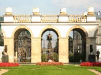
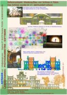
Palace
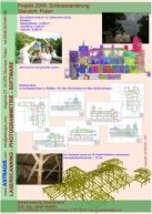
3D Laser scanning Photogrammetry Drawings Ortophotos of the elevations 3D Model
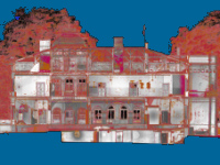
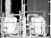
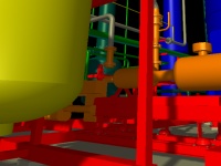
Pipes
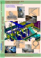
3D Laser scanning 3D Model 3D Visualization
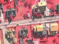
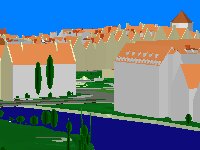
City model
Aerial photogrammetry Maps 3D Model 3D Visualization
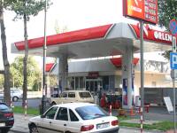
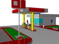
Gas station
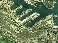
Cartography
Aerial photogrammetry Maps Ortophotomaps DTM
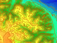
Monument
3D Laser scanning Hipsometry 3D Visualization
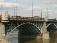
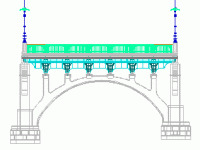
Bridge